This guide explains Passu Cones’ history, geography, local culture, famous events, and important travel details that visitors usually need when planning a trip.
Geography of Passu Cones
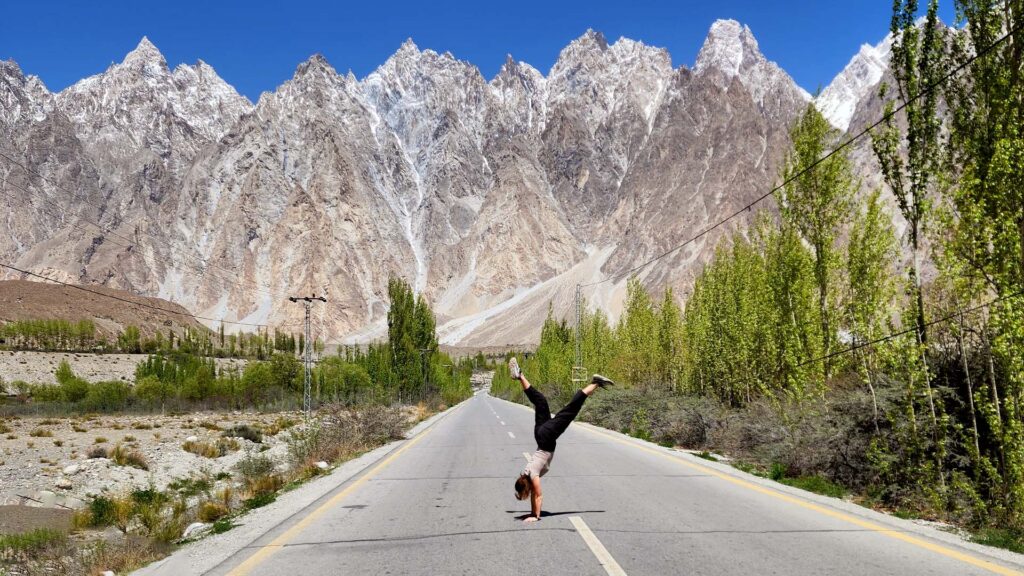
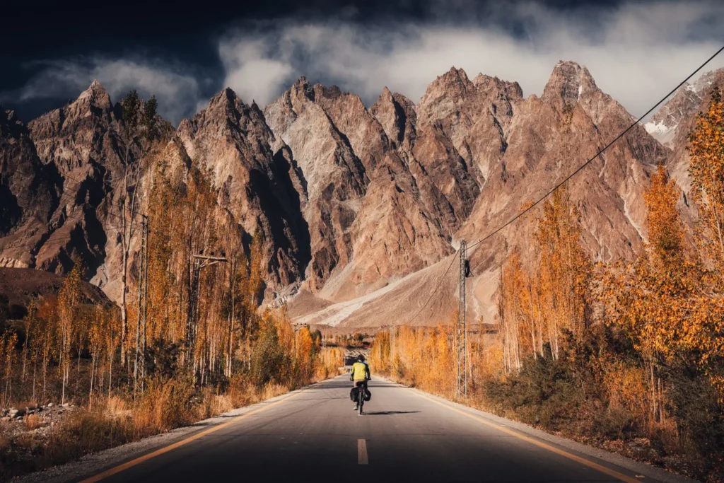
The Passu Cones sit on the northern side of the Hunza River in the Gojal region of Hunza Valley. They are visible from the Karakoram Highway between Gulmit and the Passu Glacier.
Elevation
The highest nearby peak is Passu Sar, standing tall at 7,478 meters (24,534 ft). The pointed peaks people call “Passu Cones” also known as Tupopdan or Passu Cathedral has altitude of 6,106 meters (20,033 ft).
The elevation of Passu Cones Viewpoint is 2,565 meters (8,415 ft).
Location
- Region: Upper Hunza (Gojal Valley), Gilgit–Baltistan
- Range: Batura Muztagh, part of the Karakoram
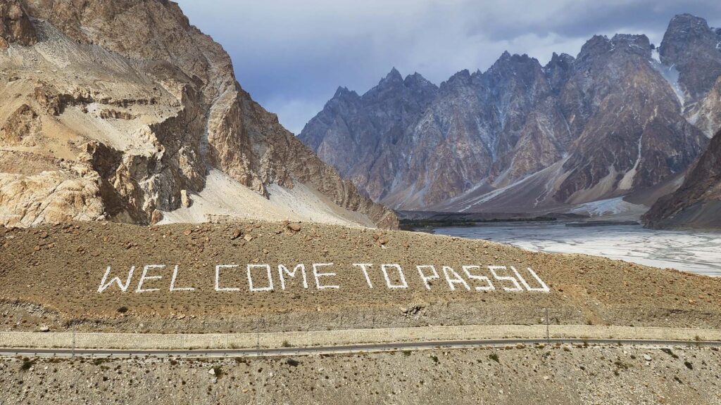
- Nearby village: Passu
- Highway access: Directly along the KKH
Geological Background
The Karakoram is one of the world’s youngest and fastest-rising mountain ranges. The Passu Cones formations were shaped by tectonic uplift and centuries of glacial carving, giving them their tall, sharp silhouettes.
Historical Background of the Passu Region
Early Settlement
The wider Hunza region has been inhabited for thousands of years by Wakhi and Burusho communities. The people of Passu belong mainly to the Wakhi ethnic group. Historically, this area was connected to Central Asia through trade routes that linked present-day Pakistan with China and Afghanistan.
Silk Route Connection
The Karakoram Highway follows a path close to the ancient Silk Route. Caravans once passed near Passu on their way to Kashgar. Although the original trail is not in use, the region’s history as a mountain trading post still influences local culture and stories.
Notable Events
Some major historical points related to the Passu area:
- Construction of the Karakoram Highway (1960s–1970s), which opened Passu to the outside world.
- Attabad Lake formation in 2010, caused by a massive landslide that changed travel routes and affected nearby communities, including those in Gojal.
- Increased tourism after international travel documentaries and photos of Passu Cones went viral in the last decade.
Culture and People of Passu
The Wakhi Community
The Wakhi people, originally from Wakhan (now part of Afghanistan), speak the Wakhi language. They follow the Ismaili branch of Islam, which emphasizes education and community development.
Lifestyle
Life in Passu is shaped by agriculture, livestock, and small-scale trade. Wheat, barley, potatoes, and apricots are the main crops. Because of the harsh winter, people store food and rely on dried fruits and grains.
Literacy and Education
Gojal has a high literacy rate compared to many rural areas of Pakistan, partly due to community-run schools and strong emphasis on education.
Local Hospitality
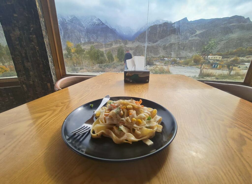
Visitors often describe Passu village as calm, peaceful, and welcoming. Many families run small guesthouses that offer simple, home-style Wakhi meals.
Weather Around Passu Cones
Seasonal Overview
- Summer (May–September)☀️: Mild to hot days, cool nights, clear mountain views.
- Autumn (October–November)🍂: Golden trees, cold nights, very clear visibility.
- Winter (December–February)❄️: Cold & Chilly, road closures possible after snowfall but chances are rare.
- Spring (March–April)🌸: Cherry Blossoms and greenery with beautiful weather, pleasant days and cold nights.
Cherry Blossoms and Autumn season are 2 ideal seasons to visit Hunza Valley.
Nearby Attractions
These places can be combined with a Passu Cones visit:
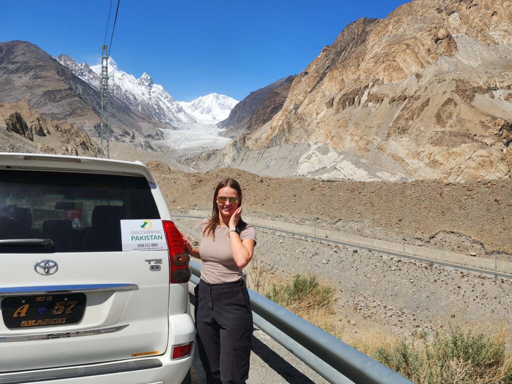
• Passu Glacier
A large glacier close to the village with short hikes to the viewpoint.
• Borith Lake
A calm lake near Gulmit, famous for migratory birds in spring.
• Hussaini Suspension Bridge
Known for its long wooden planks and dramatic views.
• Attabad Lake
A bright blue lake formed after a landslide in 2010.
• Gulmit Village
A traditional Wakhi settlement known for its culture and handicrafts.
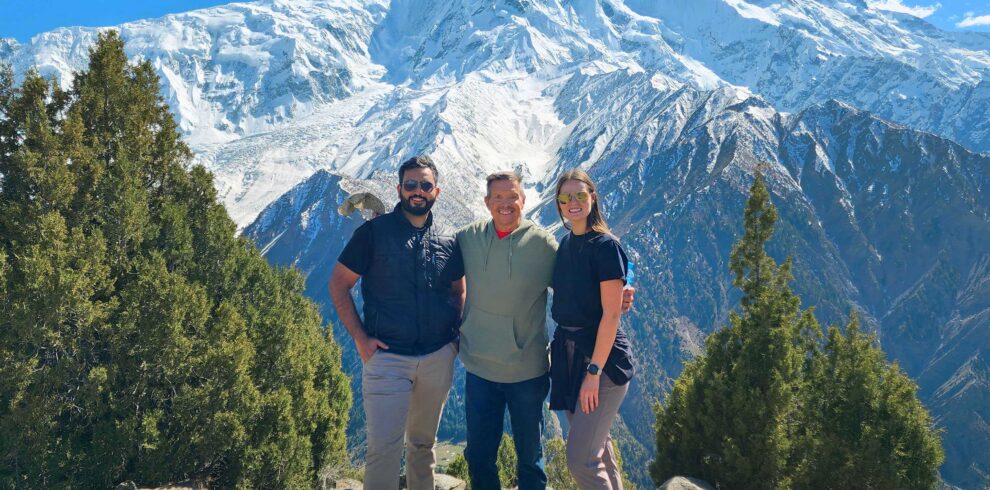
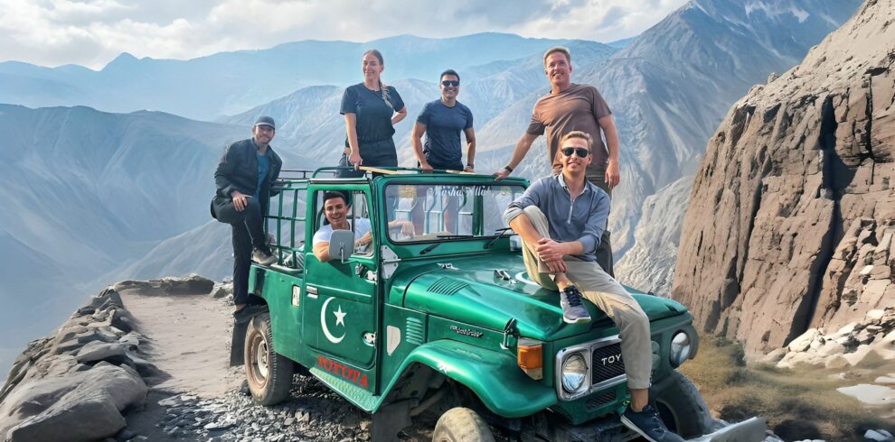
Passu Cones Tours
Here are list of Hunza Valley tours which you can book to visit Passu Cones, Passu village and Passu Glacier.

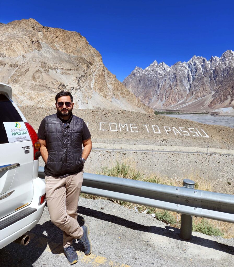
Where are the Passu Cones located?
Passu Cones are in Upper Hunza’s Gojal region along the Karakoram Highway. They sit above Passu village and are easily visible from the main road.
Do I need to hike to see the Passu Cones?
No. The main viewpoint for Passu Cones is right beside the Karakoram Highway, so you can see them without any hike. Many people stop at roadside cafés to take photos.
What is the height of the Passu Cones?
“Passu Cones” also known as Tupopdan or Passu Cathedral has altitude of 6,106 meters (20,033 ft).
Are there hotels or guesthouses near Passu Cones?
Yes. Passu village has several guesthouses and small hotels with mountain views. Options include Passu Ambassador Hotel, Passu Tourist Lodge, and local homestays.
What are the nearby attractions around Passu Cones?
Nearby places include Passu Glacier, Borith Lake, Hussaini Suspension Bridge, Attabad Lake, and Gulmit Village. All are within a short drive.